
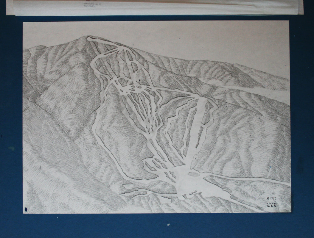
 1992 illustration for SUGARBUSH Mt. Ellen trail map  1992 illustration for SUGARBUSH Mt. Ellen trail map Including information overlay Another map illustration from the attic. In 1992, Sugarbush's two mountains Lincoln Peak and Mt. Ellen, were not yet connected via lift and two trail maps were used. The original pencil rendering above was the master reference for their hand painted on mountain maps.
The bottom image shows the map with the tissue paper overlay, all resort information, trail names, lines, ratings, labels, etc...were marked up on this tissue. Check back for Lincoln Peak rendering! Comments are closed.
|
Gary R. MillikenVistaMap owner Archives
January 2021
|
What Our Clients Are Saying
|
Contact Us
|